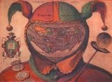
 Shakespeare's Worlds in Maps
An Exhibition at the Clements Library, University of Michigan
October 2 - December 22, 2006
The printed cartography of William Shakespeare's lifetime (1564-1616) is the subject of "Shakespeare's Worlds in Maps", a new exhibit at the William L. Clements Library. The exhibit, which will run until December 22, recognizes the visit to the
More details here

<< Home